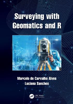
Surveying with Geomatics and R
 portes grátis
Surveying with Geomatics and R
Sanches, Luciana; de Carvalho Alves, Marcelo
Taylor & Francis Ltd
02/2022
400
Dura
Inglês
9781032015033
15 a 20 dias
879
Descrição não disponível.
1 Scientific Applications of Surveying with Geomatics and R 1
2 Introduction to Measurement Units with Geomatics and R 29
3 Theory of Measurement Errors with Geomatics and R
4 Angle and Direction Observations with Geomatics and R
5 Direct Distance and Angle Measurements with Geomatics and R
6 Stadia Indirect Measurements with Geomatics and R
7 Electronic Distance and Level Measurements with Geomatics and R
8 Radial Traverse Survey with Geomatics and R
9 Coordinate Geometry of Closed-path Traverse Surveying with Geomatics
and R
10 Coordinate Geometry of Intersection Surveying with Geomatics and R
11 Traverse Area Evaluation and Surveying Memorial with Geomatics and R
12 Coordinate Reference Systems for Geodetic Surveying with Geomatics and
R
13 Cartographic Coordinate Projection Systems with Geomatics and R
14 GNSS Surveying with Geomatics and R
Este título pertence ao(s) assunto(s) indicados(s). Para ver outros títulos clique no assunto desejado.
ESRI Shapefile Format;UTM Zone 23S;geomatics;UTM Projection System;r packages;GNSS Survey;geocomputation;ESRI Shapefile;topographic survey;Linear Error Correction;gnss;Electronic Distance Measurement;surveying;UTM Coordinate;remote sensing;Kinematic Global Navigation Satellite System;big data;Electronic Total Station;UTM Projection;GNSS Receiver;WorldView-2 Satellite Image;Slant Distance;Reference Ellipsoid;Maptools Package;Vice Versa;Electronic Distance Measuring Instruments;Central Meridian;UTM System;Stadia Lines;Irradiation Dataset;Stadia Rod;Trigonometric Leveling

