Water Resource Management in Climate Change Scenario
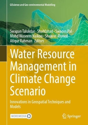
Water Resource Management in Climate Change Scenario

Innovations in Geospatial Techniques and Models

Talukdar, Swapan; Naikoo, Mohd Waseem; Pal, Swades; Shahfahad; Rahman, Atiqur; Ahmed, Shakeel

Springer International Publishing AG

08/2024

287

Dura

9783031611209

Pré-lançamento - envio 15 a 20 dias após a sua edição

Descrição não disponível.
Recent Trends in Application of Geospatial Technology and AI for Water Resource Monitoring and Management.- Recent Trends in Water Quality Monitoring: Co-dispersions, Sources, and Probabilistic Health Risk Assessment.- Monitoring Spatial Pattern of Floods for Developing Flood Management Strategies and Better Community Resilience.- Monitoring Flood Plain Wetland Degradation for Restoration and Conservation.- Spatial Dynamics of the Urban Wetlands and its Influence on Urban Environment and Ecosystem Services.- Monitoring Wetland Degradation by Integrating Machine Learning and Remote Sensing Techniques.- Changing Pattern of River Flooding Under Climate Change Scenario: A Geospatial Analysis of Rainfall-discharge Trends and Controlling factors.- Groundwater Potential Mapping Using Remote Sensing Techniques Coupled with Deep Learning and Stacking Framework.- Application of Deep Learning Algorithms for Flood Susceptibility Mapping in Data-scarce Region.- Monitoring Glacier Changes in the south-western Himalayas using Geospatial and Geostatistical Approach.- Integration of Optical and Microwave Remote Sensing Datasets for Surface Water Mapping.- Prediction of Nitrate Contamination in Lake Water at Pixel-Scale using Deep Learning Models.- Monitoring River Water Quality and Proposing Management Strategies by Integrating Geospatial Techniques and Machine Learning.- Comparison of Performance of Machine Learning Techniques in Prediction of Groundwater Quality.- Lake Water Eutrophication Monitoring and Proposing Management Strategies for Water Quality Treatment.- Analyzing Sources of Heavy Metal Pollution in Drinking Water and Identifying Water Treatment Plans using Geospatial Techniques and AI.- Integration of Machine Learning Models with Game Theory for Understanding Water Induced Soil Erosion in Guwahati Urban Watershed.- Proposing a New Framework for Urban Blue Space Mapping by Coupling Image Fusion Techniques and AI.- Quantification of Surface Water Contamination by Integrating Geospatial and Geostatistical Approach.- Application of AI and Big Data for the Prediction of Glacier Melting.
Flood Plain Inundation;Nature-based Solutions & Artificial Intelligence;Water Resource Mapping and Modeling;Water Toxicology and Treatment;Surface and Sub-surface Water Vulnerability