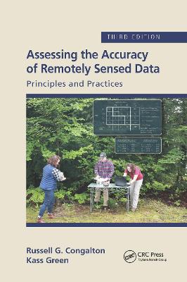
Assessing the Accuracy of Remotely Sensed Data
 portes grátis
Assessing the Accuracy of Remotely Sensed Data
Principles and Practices, Third Edition
Congalton, Russell G.; Green, Kass
Taylor & Francis Ltd
09/2020
348
Mole
Inglês
9780367656676
15 a 20 dias
640
Descrição não disponível.
Chapter 1 Introduction Chapter 2 The History of Map Accuracy Assessment Chapter 3 Planning for Conducting an Accuracy Assessment Chapter 4 Positional Accuracy Chapter 5 Thematic Map Accuracy Basics Chapter 6 Thematic Map Accuracy Assessment Considerations Chapter 7 Reference Data Collection Chapter 8 Basic Analysis Techniques Chapter 9 Analysis of Differences in the Error Matrix Chapter 10 Fuzzy Accuracy Assessment Chapter 11 Object-Based or Polygon Accuracy Assessment Chapter 12 An Object-based Accuracy Assessment Case Study: The Grand Canyon National Park/Grand Canyon-Parashant National Monument Vegetation Classification and Mapping Project Chapter 13 The California Hardwood Rangeland Project Chapter 14 Advanced Topics Chapter 15 Summary and Conclusions
Este título pertence ao(s) assunto(s) indicados(s). Para ver outros títulos clique no assunto desejado.
Accuracy Assessment;Positional Accuracy Assessment;map accuracy;Error Matrix;data sources;Manual Image Interpretation;Antialiasing and Anisotropic;Traditional Error Matrix;RADAR data processing;Object Based Classification Approaches;proportional sampling;Thematic Accuracy Assessment;public domain;Accuracy Assessment Sample;object-based accuracy assessment;Reference Data;geospatial mapping practices;Crown Closure;digital remotely sensed data;Accuracy Assessment Site;Grand Canyon National Park;Higher Spatial Resolution Imagery;Fuzzy Error Matrix;Error Matrices;Reference Data Collection;Data Set;Major Diagonal;Sample Units;Error Matrix Approach;Fuzzy Accuracy Assessment;Quantitative Accuracy Assessment;Reference Label;Obia Approach;Blue Oak


